Taoglas launches multi-band GNSS antennas
February 11, 2025
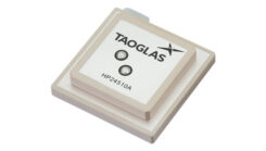
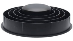
Taoglas has released the Levity Series’ AHP24510 (L1/L2/L-Band) and AHP54510 (L1/L5/L-Band) directional patch antennas.
Read More
Taoglas has released the Levity Series’ AHP24510 (L1/L2/L-Band) and AHP54510 (L1/L5/L-Band) directional patch antennas.
HERE Technologies and Amazon Web Services have entered an agreement to advance the development of software-defined vehicles.
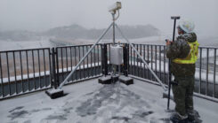
GNSS machine control is widely used on excavators, graders and dozers. It allows precise earthmoving and grading with minimal manual input from operators.

Bad Elf and GEODNET have introduced a five-year RTK service for Bad Elf GPS receivers, designed to provide high-accuracy GPS positioning.
A roundup of recent products in the GNSS and inertial positioning industry from the December 2024 issue of GPS World magazine.

What is a mobile GNSS solution? Are the terms “mapping grade” and “resource grade” still useful? Who is using which devices for which tasks? Bernhard Richter, VP Geomatics at Leica Geosystems, which is part of Hexagon, and with Igor Vereninov, CEO of Emlid share their thoughts on these issues.
Calian GNSS, formerly Tallysman Wireless, has introduced the VCS6000XF full band smart choke antenna, a new product designed […]


Follow Us